|
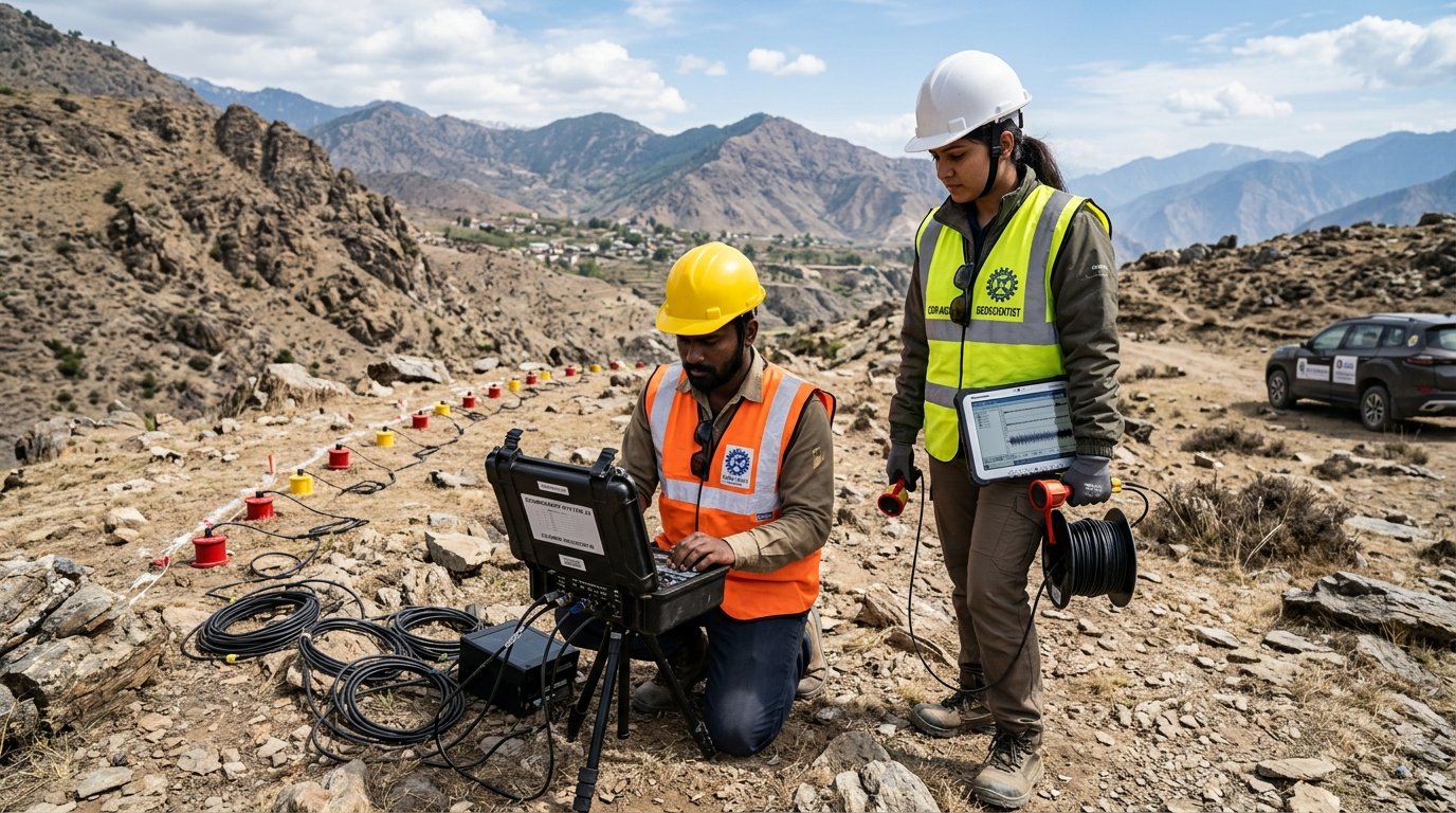
SRT (Seismic Refraction Tomography)
|
P-wave velocity (Vp) |
2D P-wave
velocity (Vp) model |
Bedrock depth estimation, weathered-layer thickness, geological layer
identification, fault and fracture detection, engineering sites. |
|
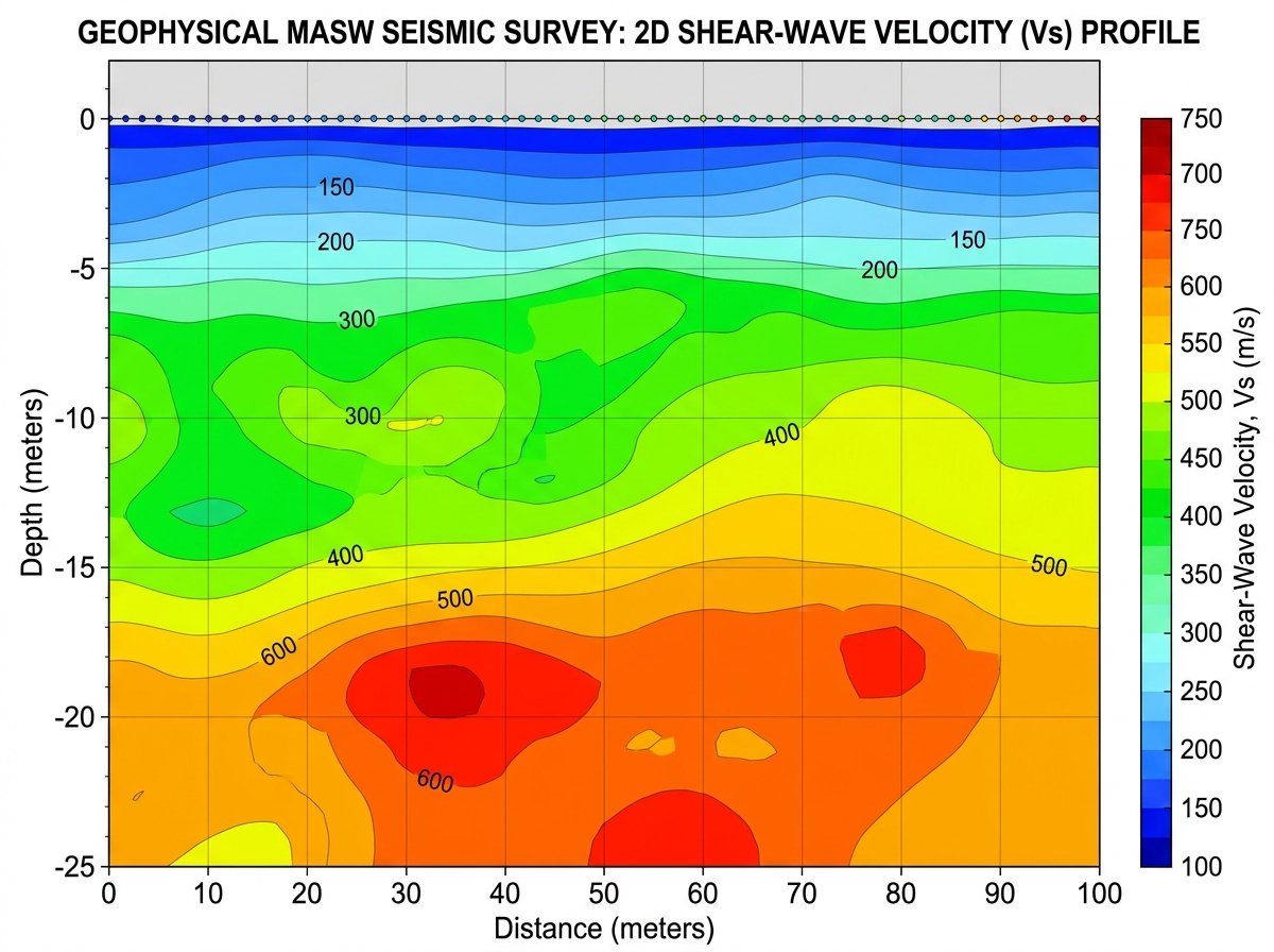
MASW (Surface Waves Analysis)
|
Shear-wave velocity (Vs) via Rayleigh waves
|
1D Vs-depth
profile & 2D Vs cross-sections |
Foundation engineering, ground stiffness characterization, seismic
hazard assessment, earthquake site-response, weathered rock. |
|
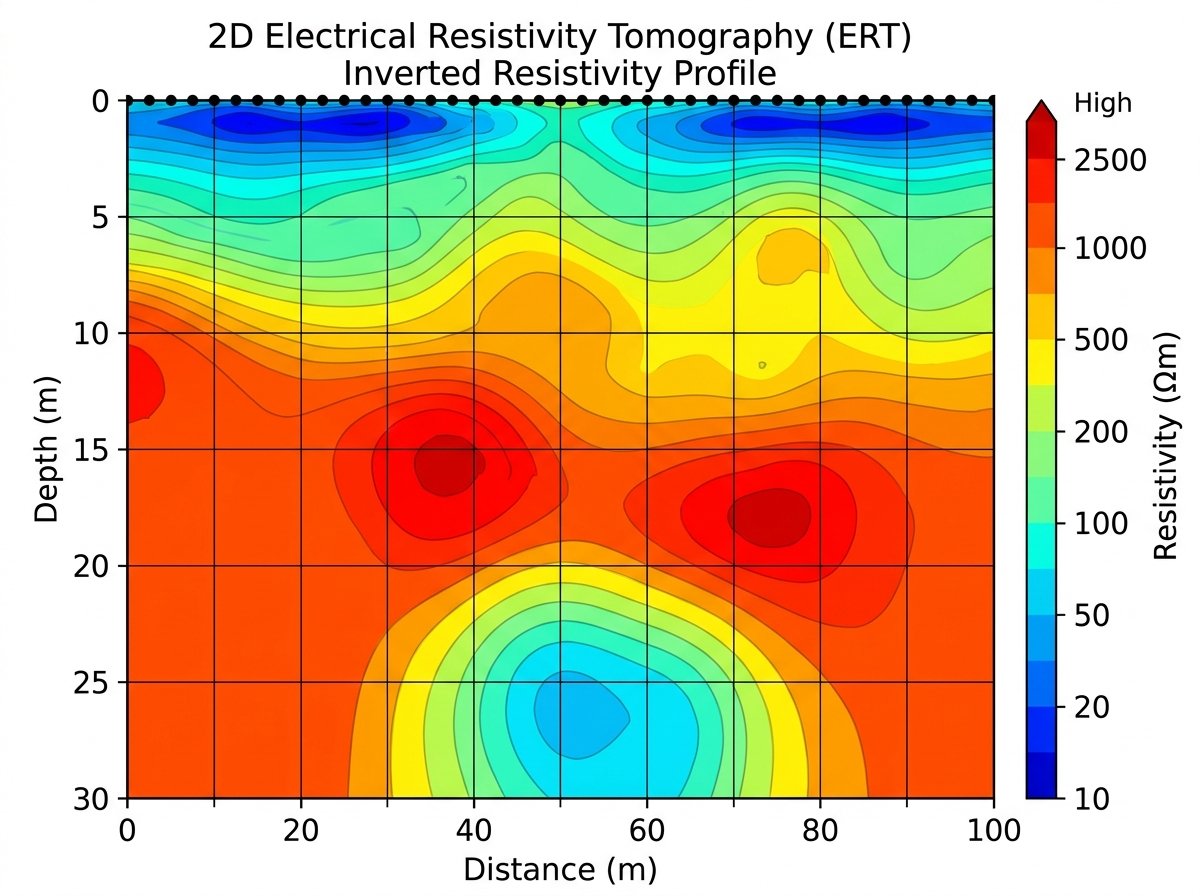
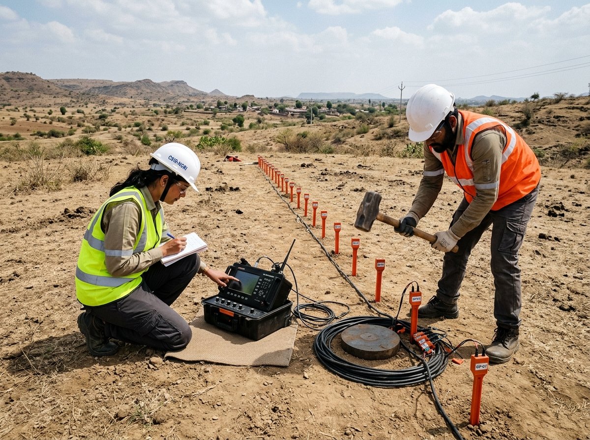
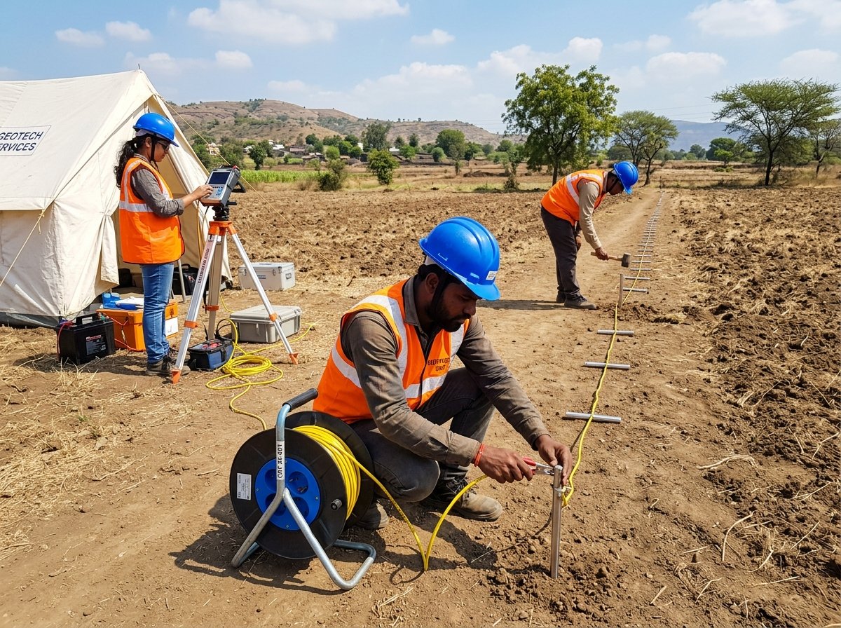
ERT (Electrical Resistivity Tomography)
|
Electrical resistivity contrast (Ω·m) |
2D & 3D
resistivity inversion models |
Groundwater exploration, bedrock topography, cavity/void detection,
clay vs hard rock distinction, dams and tunneling. |
|
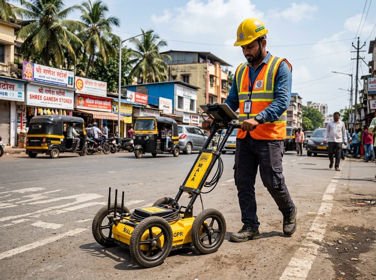
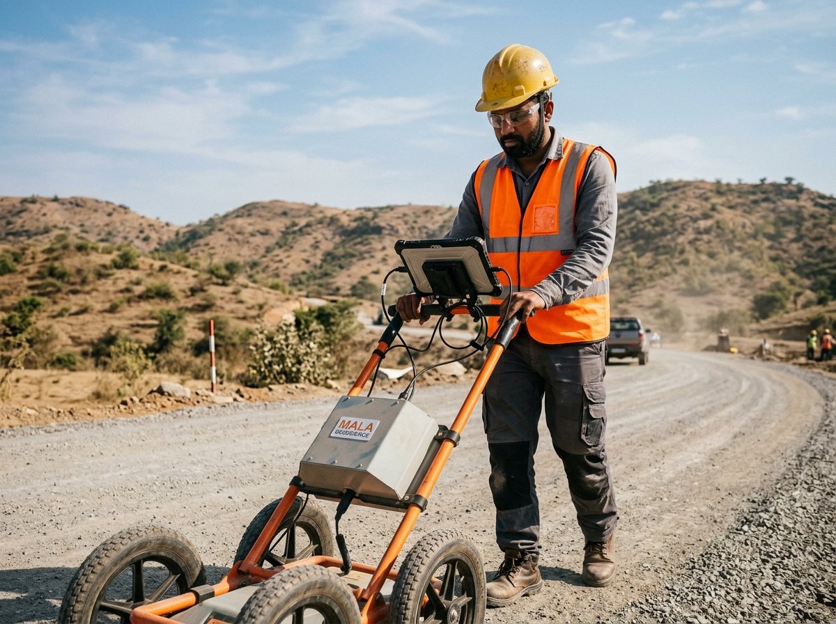
GPR (Ground Penetrating Radar)
|
High-frequency electromagnetic reflection
|
High-resolution
2D radargram / depth slice |
Underground cavities, buried utilities, foundation structures,
archaeological artifacts, road and pavement layer assessment. |
|
Gravity Survey (CG-5 / CG-6)
|
Subsurface density variations (g/cm³) |
Bouguer anomaly
maps & density models |
Sedimentary basin mapping, basement depth, mineral exploration, fault
mapping, detection of deep dense or low-density bodies. |
|
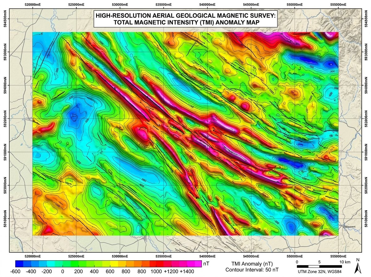
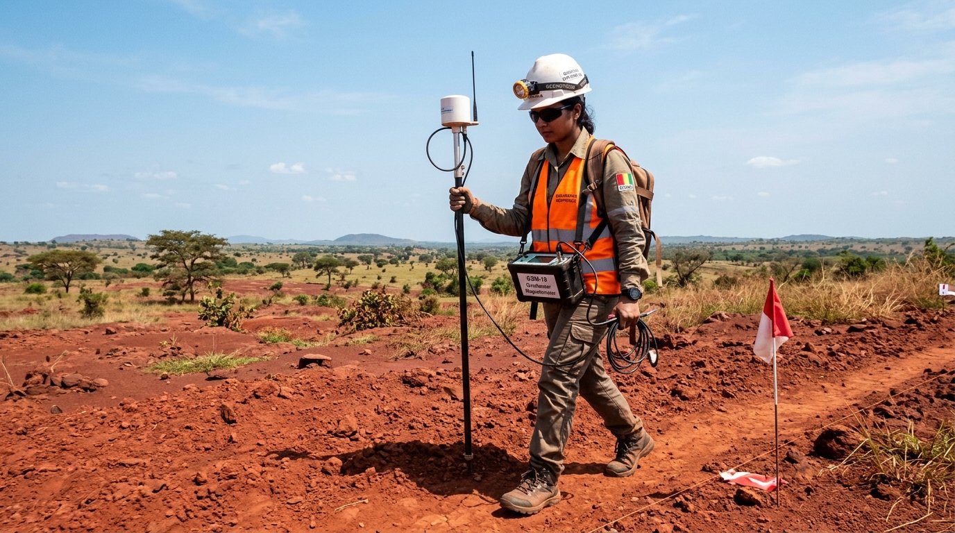
Magnetic Survey (TMI, RTP, ASA)
|
Magnetic field variations & susceptibility
|
Total Magnetic
Intensity & Analytical Signal |
Iron ore exploration, lithological contacts, fault/shear trends,
kimberlites, base metals and mineralized prospective zones. |



 Case Study

